Barrhaven
South
Fast Facts
- Population: 71,408 (City of Ottawa Neighbourhood Study (sum of the five combined boundaries))
- Size: 33.98 km² (Computed from the combined City of Ottawa Neighbourhood Study boundary polygons)
- Distance from Parliament Hill: About 17.1 km southwest (straight-line distance)
- Who's building: Mel Barr (original developer)
Overview
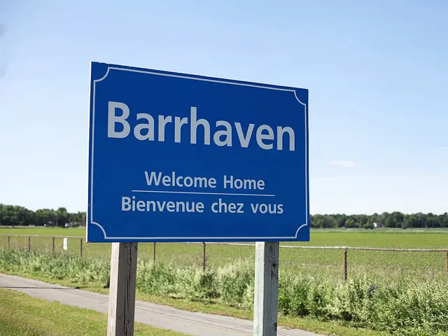
Barrhaven is one of Ottawa's largest suburbs, about 17 km southwest of downtown. Built starting in the 1960s by developer Mel Barr — for whom the community is named — on land originally intended for a horse racing track, it grew from a single grocery store and no movie theatre in 1990 into a community of well over 100,000 people today, part of the former City of Nepean before Ottawa's 2001 amalgamation.
Boundaries
The City of Ottawa Neighbourhood Study covers greater Barrhaven with five separate boundaries, merged here into a single shape running from the Jock River in the south to roughly Cedarview Road/Fallowfield Road in the north, and from Woodroffe Avenue east to Greenbank Road and beyond.
Map
History
Modern Barrhaven was established in the 1960s as one of several new suburbs built outside Ottawa's Greenbelt. Developer Mel Barr, for whom the community is named, had originally purchased a 200-acre farm intending to build a horse racing track, but built housing instead after the Rideau Carleton Raceway was built elsewhere.
As late as 1990, Barrhaven was served by a single grocery store and had no movie theatre or bar. The community grew rapidly through the 1990s and 2000s with new subdivisions including Longfields (built mainly in the early 1990s), Chapman Mills, and later Stonebridge and Half Moon Bay.
Barrhaven was part of the City of Nepean until Ottawa's 2001 amalgamation. It has continued to grow into one of the city's largest and most established suburbs, with its own extensive network of schools, shopping centres and parks.
Claim to Fame
Barrhaven's defining feature is its scale and pace of growth — from a single grocery store in 1990 to a community of well over 100,000 people today, making it one of Ottawa's largest suburbs.
Surrounding Neighbourhoods
Riverside South and the Rideau River lie east, Manotick lies south across the Rideau River, Richmond and rural Goulbourn lie west, and Nepean's older neighbourhoods lie north.
Architecture
Barrhaven's housing is almost entirely suburban single-family, townhouse and low-rise construction built in waves from the 1960s through the 2010s, with each subdivision — Old Barrhaven, Longfields, Chapman Mills, Stonebridge and Half Moon Bay — carrying the architectural style typical of its decade of construction.
Restaurants
- Ayini — South Indian and Sri Lankan
Vegetarian and vegan South Indian and Sri Lankan restaurant at 605 Longfields Drive.
Grocery Stores
- Farm Boy — Grocery store
Farm Boy grocery store at 3033 Woodroffe Avenue.
Visit website
Pedestrian and Cycling
Barrhaven is largely a car-oriented suburb, though its Transitway stations anchor walkable pockets and pathways along the Rideau River and Jock River offer walking and cycling routes at its edges.
Schools
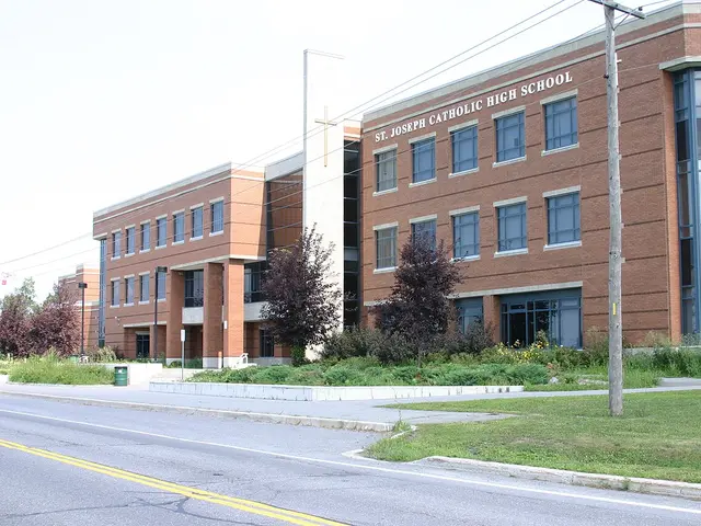 St. Joseph High School — Ottawa Catholic School Board
Catholic secondary school (grades 7-12) at 3333 Greenbank Road.
Public domain, via Wikimedia CommonsVisit website
Transit Options
OC Transpo bus routes and Transitway stations serve Strandherd Drive and Woodroffe Avenue, with Fallowfield Station providing VIA Rail service and connections across the Vimy Memorial Bridge to the O-Train Trillium Line at Limebank Station. Check octranspo.com for current route numbers, since the network is periodically redesigned.
Nearby on This Site
No listings yet in this area.
Official Information
Last verified: August 27, 2026